
Walk an Apache Junction Street
A useful Apache Junction street directory begins with the land, not a person. The city address layer fixes the spelling and street parts, while the county parcel record supplies the number that joins the map to tax and deed records. That chain can identify an owner and can point toward older recorded parties. It cannot, by itself, name each person under the roof. Treat each result as one piece of evidence and keep the physical address apart from the address where an owner receives mail.
- Confirm the full address and county in Apache Junction GIS. Copy the parcel number and note the unit, ZIP, and land-use fields.
- Search the Pinal County Assessor by address. Record the owner, situs address, legal description, subdivision, and APN exactly as shown.
- Carry the owner and legal description to the Pinal County Recorder. Trace the current acquisition deed and earlier owners through the grantor and grantee links.
- Use voter material only through an authorized Arizona channel. The state self-lookup is for a voter checking their own registration, not browsing a street.
- For past occupants, check an address-first criss-cross directory and dated newspaper evidence. Keep occupant or telephone-subscriber evidence distinct from ownership.
The process moves from address to parcel, then from parcel to records. If the goal changes from a whole road to one named person, the Apache Junction resident lookup uses a different verification path.
Apache Junction Street Search Fields
The Pinal County Assessor Parcel Search presents six separate routes. An exact street address is the fastest route to one lot. A subdivision or survey search is better for grouping related parcels when a road crosses a large development. No field on the inspected page was marked as required, and each search block has its own submit control.
| Search route | Fields shown | Best street use |
|---|---|---|
| Owner | Last name, then first name | Return to a parcel after finding a deed party |
| Property address | Number, direction, street name, suffix | Resolve one civic address |
| Parcel number | Book, map, parcel, optional suffix | Carry an APN from GIS into county records |
| Subdivision | Subdivision name | Browse parcels within a named plat |
| Survey | Section, township, range | Find rural land by PLSS location |
| Recorded plat | Cabinet, slide, lot | Connect a lot to its plat reference |
This search design makes the street directory more exact. Direction and suffix are separate fields, and the APN has distinct parts. When an address produces no match, test the official spelling in GIS before broadening the query. Do not assume a missing result means the parcel or street does not exist.
Apache Junction Situs and Mailing Clues
The Treasurer adds a second view of the owner record. Its query accepts partial owner and mailing-address values, plus tax year, city, postal code, state or province, and country. Results can be exported as CSV and identify parcel number, owner, city, state, and postal code. Because the data update nightly, same-day account activity may not appear at once.
The Pinal Treasurer owner and mailing search shows the actual interface used for this part of an Apache Junction street directory.
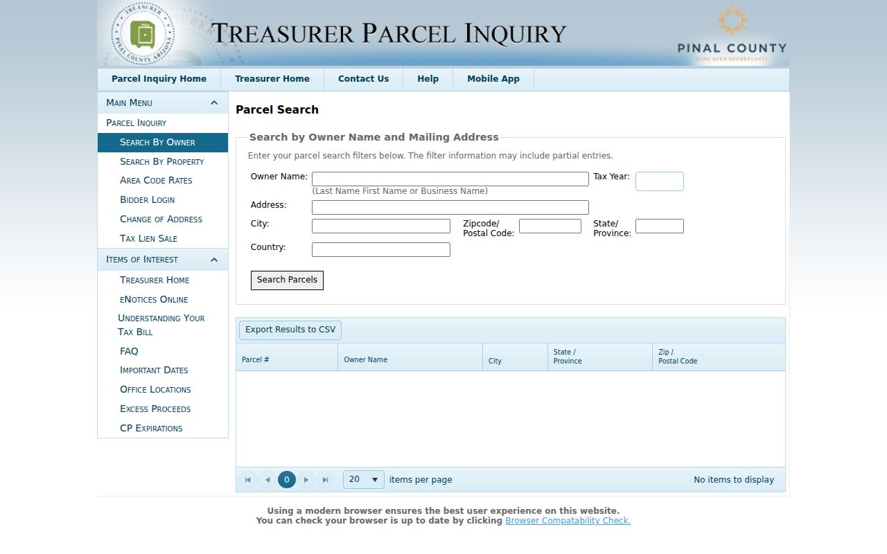
A mailing match is a clue about where a tax notice goes. It is not proof that the owner lives at the parcel, and a different mailing address may reflect a trust, company, seasonal address, or another contact point.
- Parcel
- A county-assigned unit of land used to connect maps, assessments, taxes, and recorded descriptions.
- Situs address
- The physical location of the parcel, as opposed to the owner's tax-bill mailing destination.
- Plat
- A recorded map that divides land into lots, blocks, streets, and other features.
- Criss-cross directory
- An address-first or telephone-first directory used to find a listed subscriber at a past location.
Map Apache Junction Streets by Parcel
Apache Junction GIS stores more than a label on a map. Its address schema separates the house number, cardinal direction, street-name stem, suffix, building, unit type, and unit number. It also carries the full address, ZIP, city, county, parcel number, land use, source, and edit metadata. These fields help resolve spelling and jurisdiction before a county search begins.
The official Apache Junction parcel and address GIS schema exposes the fields behind the map.
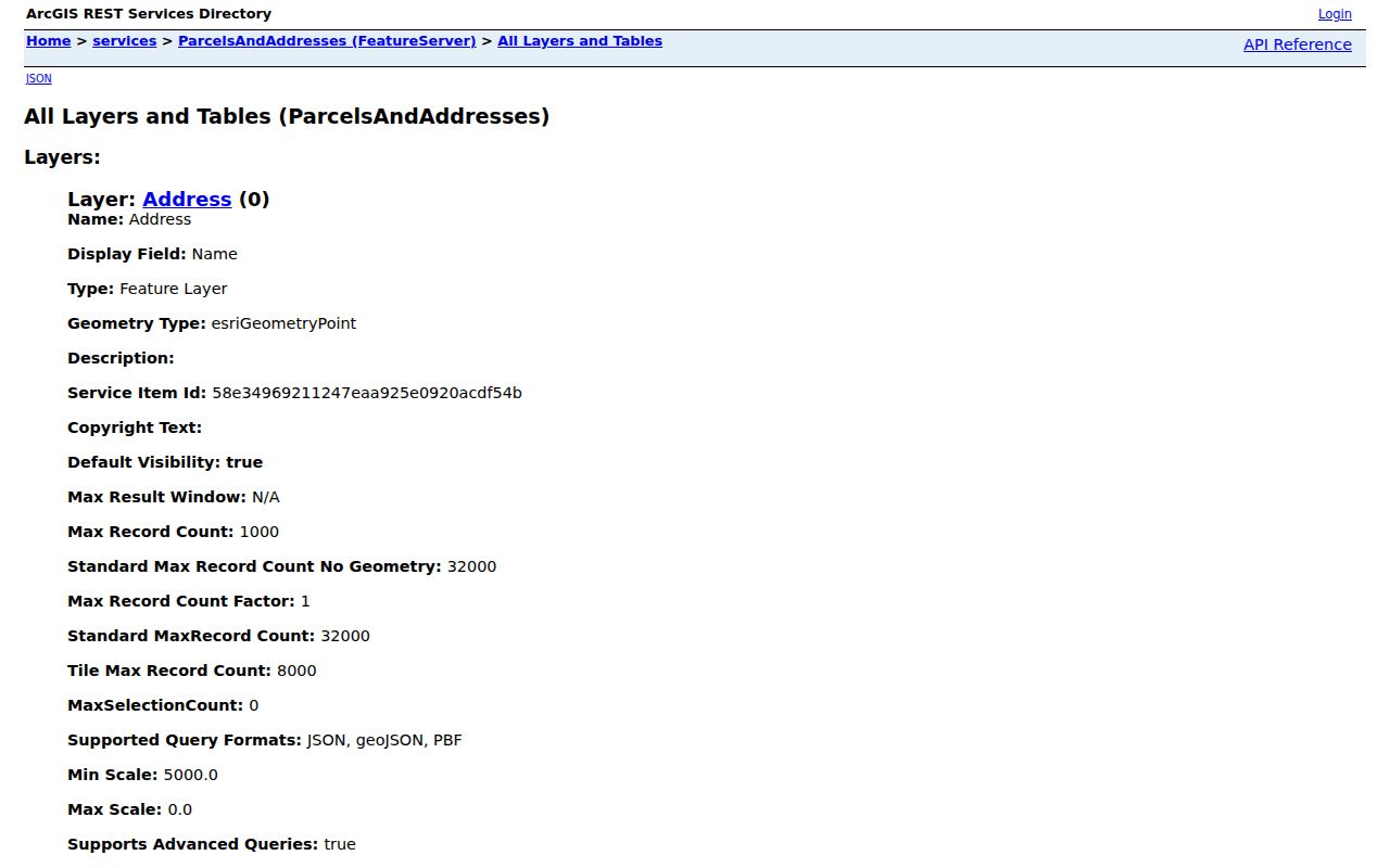
The GIS does not display resident names. Its role is to turn a street point into an APN and a county, then keep nearby parcels in their proper spatial context. For a street-by-street browse, locate one lot, stay close enough to see parcel lines, click the next polygon, and record APNs one at a time. The service supports geometry and distance queries, but no simple public neighbor-radius tool was verified.
Apache Junction Records by Street
No single Apache Junction street directory holds every current or former occupant. Instead, the parcel number links several public record sets. Each has a different keeper, time span, and proof value. A strong result comes from agreement between sources, not from stretching one field beyond what it means.
| Address-keyed source | Keeper | What it can establish | Access path |
|---|---|---|---|
| Parcel roll | Pinal County Assessor | Current owner, APN, situs, legal and subdivision clues | Free online search; city Planning can help identify an APN |
| Tax account | Pinal County Treasurer | Owner mailing destination, tax bills, payment history | Online parcel or owner/property search, updated nightly |
| Parcel and address layer | Apache Junction GIS | Standard address, unit, ZIP, county, land use, APN | Public map and REST layer |
| Recorded instruments | Pinal County Recorder | Deeds, liens, releases, plats, legal continuity | Online from May 23, 1980; counter, mail, email, and archival fallback |
| Permits and code files | City Development Services | Work at an address and named applicants in public files | Portal where available; targeted city records request |
| Voter data | Pinal County Recorder/Elections | Permitted residence and precinct fields for an authorized purpose | Authorized request or in-office inspection under Arizona law |
The chain is strongest when the APN and legal description remain constant. Street text can change, and mailing fields can point elsewhere. Voter access is also restricted: Arizona's official self-lookup confirms the requester's own registration, while broader lists require a statutory purpose and cannot be reposted on the internet.
Deeds Along Apache Junction Streets
The Pinal County Recorder Acclaim portal provides Name, Fee Number, Document Type, Record Date, Doc Legal, and Docket/Page modes. Start with the current owner as grantee and use an approximate acquisition date or the legal description to find the purchase deed. Record the seller, permanent fee number, date, document type, and land description. Then search that seller as an earlier grantee. This creates a chain of title without relying on a street name that may have been formatted differently.
Online searchable images begin May 23, 1980 and carry an unofficial-copy watermark. Earlier street history moves to Recorder staff, older books, or microfilm. Copies may be retrieved online, requested by email or mail at PO Box 848, Florence, AZ 85132, or obtained at 31 N. Pinal Street, Building E. Individual recorded copies cost $1 per page, and certification adds $3 per document. Those fallback channels are part of a complete street search, not an afterthought.
Note: Search every plausible spelling in Acclaim, then use the legal description when a civic address has changed.
Apache Junction Permits by Address
Building and planning files can date work at a parcel. They may name an owner, applicant, or contractor, but those roles do not prove who occupied the site. Apache Junction Development Services points applicants to MyGovernmentOnline, while older or unavailable public material can be sought through a focused city records request. Ask for a known address, permit type, and useful date range rather than a broad resident list.
The city's Building Safety and Inspection page shows the permit route used for address work.

The portal image helps identify the official application channel. For historical scope that the portal does not expose, the City Clerk form center and Development Services are the fallback rather than an unsupported assumption about coverage years.
Read Apache Junction Parcel Context
The Pinal Parcel Zoning Report makes an important distinction visible. Its linked data can include parcel number, parcel size, property description, primary owner, a second name, tax-bill mailing address, physical property address, zoning, planning area, and associated case details. Owner and address fields should be copied with their labels intact. Flattening them into one line can turn an owner-contact destination into a false claim about residence.
The official Pinal parcel zoning report displays this broader context.
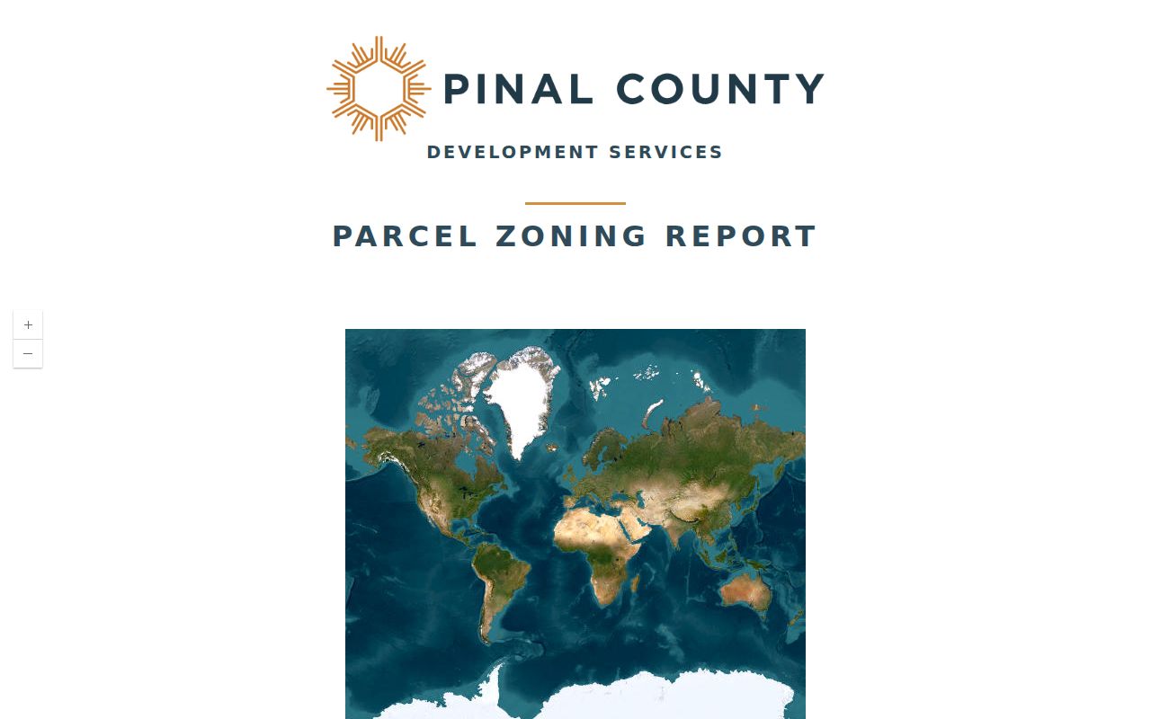
Zoning and case fields explain the land and its review history. They do not create a household roster. In this street directory, they serve as checks on parcel identity and help distinguish two similar addresses or nearby lots.
Older Apache Junction Street Entries
Apache Junction appears in regional directories before the city incorporated in 1978. The 1962 Cole's Greater Phoenix Criss Cross/Cross Reference directory includes Apache Junction and is the strongest verified address-first historical source. It can connect a house number or telephone listing to a named subscriber, though that person may be the household head rather than every resident. The 1958 Mullin-Kille volume is stronger for business, professional, church, school, lodge, club, and civic ties than for a complete household roll.
Use the digitized material through the Arizona Memory Project Cole's directory record. A fuller account of the regional runs belongs in the Apache Junction city directory. For a street search, the key is modest: a dated address or telephone entry can bridge a gap between deeds without proving ownership.
Apache Junction Address Changes
Historical work must account for two shifts. Municipal Apache Junction records begin meaningfully with incorporation in 1978, so earlier files belong mainly to county, territorial, federal census, newspaper, and regional directory collections. USPS then converted the area's 852 prefixes to 851 prefixes on July 1, 2009. Old material may show 85217, 85218, 85219, 85220, or 85278 where current delivery uses the related 851 code.
No official street-renumbering chronology was verified, so none should be assumed. Bridge uncertain street text with the APN, subdivision, cabinet/slide/lot, section/township/range, recorded plat, legal description, and dated city map. The streets and address schema confirms directional prefixes but does not support inventing a Phoenix-style quadrant rule for Apache Junction.
Apache Junction Streets Cross Custodians
Most Apache Junction property research belongs in Pinal County. Yet the city and postal place sit near the Maricopa County line, and a western address may require the Maricopa County Assessor instead. The custodian follows the parcel's county, not the words “Apache Junction” in a mailing line. Confirm the County field in city GIS before treating a Pinal search as final.
This is a local street-directory quirk with real consequences. An empty Pinal result may be a jurisdiction clue, while an Apache Junction postal ZIP can cover land beyond the incorporated boundary. City, county, and postal systems answer different questions. Keep all three fields in the working notes.
Limits of Apache Junction Street Records
A street directory cannot lawfully or reliably expose every person at an address. Parcel and tax systems center on ownership and payment. Deeds center on recorded parties and land. Permit files center on work and applications. None supplies a complete list of occupants, children, guests, or household members. Public utility customer data is protected, motor-vehicle address data is restricted, and victim or investigative details may be redacted.
Arizona also protects some addresses through the Address Confidentiality Program and record-specific procedures for recorder, assessor, treasurer, and voter files. A blank or substitute field can reflect a legal safety measure. It should not be treated as an error to defeat. A result that conflicts with a custodian's current record needs verification, not wider circulation.
Lawful use. Use Apache Junction address records for legitimate personal and civic research. Never use them to stalk, harass, threaten, or track another person.