
Apache Junction Neighbor Record Sources
A block search begins with geography. Apache Junction GIS supplies shapes, address points, parcel numbers, ZIP, land use, and county. The Assessor adds the owner of each selected parcel. The Treasurer adds the tax-mail destination. Recorder records reveal prior owners, while permits and planning files show address-linked activity. None is a complete list of neighbors.
| Source | What it shows about a block | Access and limit |
|---|---|---|
| Apache Junction GIS | Parcels, addresses, APNs, land use, ZIP, county | Public map or REST layer; no occupants |
| Pinal Assessor | Owners of individually searched parcels | Free query; ownership only |
| Pinal Treasurer | Owner mailing destination and tax account | Partial search and CSV; not renters |
| Pinal Recorder | Prior owners and recorded parties | Party and legal search; not households |
| City permits and planning | Projects, applicants, and public notices | Portal or request; redactions apply |
| Voter records | Residence and precinct fields for lawful uses | No public block browser |
Owner and occupant are different roles. A tax mailing address that matches the parcel may support an owner-occupancy clue, but it is not proof. A trust, park owner, or business may appear while the people living nearby do not.
When a web result is unclear, use the access channel that matches the record. The Assessor portal handles address, owner, APN, subdivision, survey, and plat-reference searches. Treasurer records can be checked online and exported, while the Recorder's Acclaim index searches named parties and legal descriptions. A missing permit can be requested from Development Services by address and date. Each office can also explain its own redactions or correction process.
Map Apache Junction Neighbors by Parcel
No friendly public neighbor-radius button was verified. The careful method is manual. Start with a known address, keep the map close enough to see parcel lines, and move one polygon at a time. This avoids treating a label or result limit as complete block coverage.
- Standardize the address in city GIS and record its parcel number, ZIP, land use, and county.
- Select the parcels north, south, east, and west. Add corners only when they truly touch the block.
- Run each APN through the Pinal Assessor. Label the returned name as owner, not resident.
- Compare Treasurer mailing fields and note any mismatch without guessing why it exists.
- Use permits or planning files only for a defined nearby address and date span.
Condos, apartments, and mobile-home spaces need care. One parcel can hold many postal units. Its owner cannot reconstruct every household. For a whole road, use the Apache Junction street directory.
The city service also exposes geometry and spatial-query controls for technical checks, but no tested consumer control promised a complete radius. Record one parcel number at a time. Preserve the direction of travel around the block and note corner lots. If the address proves to fall in the small Maricopa County portion of Apache Junction, stop using Pinal systems and move to the Maricopa County parcel custodian.
Apache Junction Owners Are Not Occupants
This distinction is vital in Apache Junction. A 2018 city survey counted 7,990 manufactured or mobile homes and 7,016 park models or RVs. Together they were close to two-thirds of surveyed units. Seasonal use and park ownership can make the parcel name a poor proxy for the person next door. A mailing address may belong to an owner, trust, or management office.
City GIS stops at address, unit, land use, and parcel data. The Assessor records ownership. The Treasurer records tax responsibility and a mailing destination. Public tools do not expose a general renter, utility-customer, or delivery list. Sound Apache Junction neighbors research labels each result by what it proves.
- Parcel
- A mapped unit of land with a county identifier.
- Situs address
- The property's physical location.
- Mailing address
- Where an owner's tax notice goes.
- Occupant
- A person who lives there, not established by ownership alone.
Apache Junction Neighbor Contacts
No official citywide HOA, neighborhood-association, congregation, or Block Watch resident roster was found. Public organization pages still identify groups serving the area, but they must not become private membership lists. These sources publish organizations, projects, or districts rather than households.
Area Chamber
Searches public groups by keyword, category, postal code, or alphabet. Association categories do not expose households.
Community Facilities Districts
Two Superstition Vistas CFDs in 85120 publish meeting records. They are taxing districts, not HOAs.
Planning and Zoning
City cases supply project and nearby-owner context when a formal public notice exists.
The Apache Junction Area Chamber directory provides the documented organization search:

Categories include Community/Non-Profits/Associations, Homeowners Association, Religious Organizations, Government, and Individuals/Lifetime Member. The interface records what members publish. It does not authorize a block roster.
The Chamber is at 567 Apache Trail and lists 480-982-3141. Those details provide a route for asking whether a public organization page exists. They do not create access to a membership list. City Form Center categories for Block Watch, alarms, and animal services likewise show service channels, not proof that private participant names or home contact details are public.
Apache Junction Neighbors and CFDs
The city's two residential Superstition Vistas Community Facilities Districts are in ZIP 85120. A CFD finances infrastructure and levies taxes. Meeting records can identify public officials, consultants, projects, and district business, but the district is not a private resident group.
The Apache Junction CFD page is the official channel for that public layer:
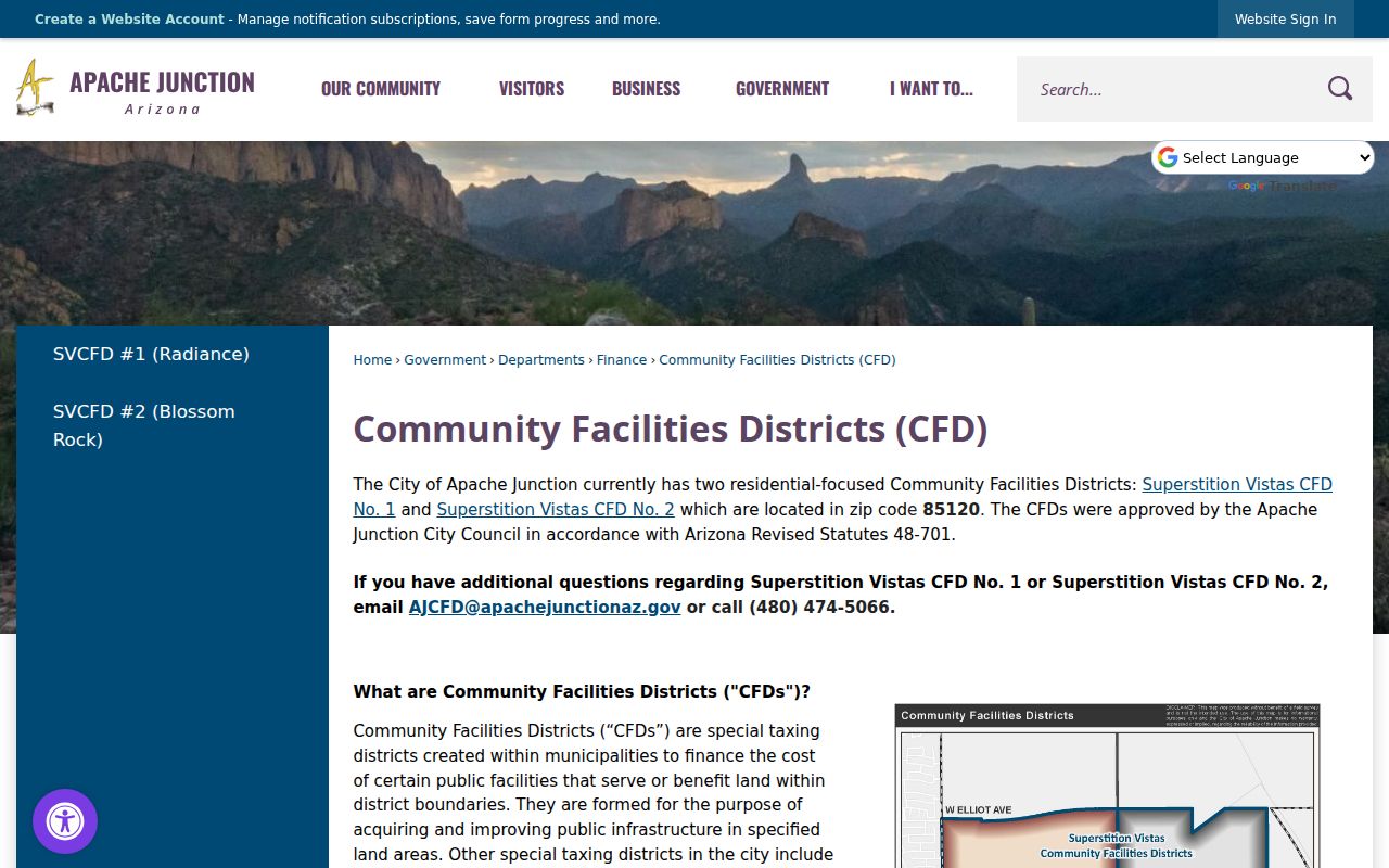
Use it to understand infrastructure near a parcel or locate district meetings. Contact is AJCFD@apachejunctionaz.gov or 480-474-5066. A district boundary is not proof that a named person lives within it.
Planning Clues Around Apache Junction Blocks
Planning notices and case files can provide block context when a nearby project is under review. A notice may carry a site address, parcel, applicant, case number, map, and nearby-owner mailing data. It documents a land-use process, not daily occupancy. Redactions and request limits apply.
The Apache Junction Planning and Zoning page connects neighbors with zoning and addressing functions:
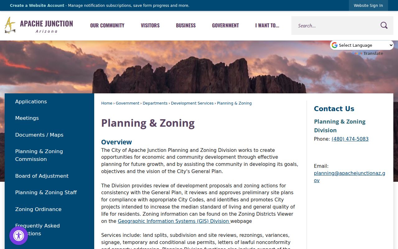
Development Services can identify the right case. A precise request names the address or APN, document type, department, and date range. A broad request for every neighbor's file creates delay and needless exposure.
Apache Junction Neighbor Permit Activity
Building and planning applications flow through MyGovernmentOnline. The visible surface requires an account for submitting or managing applications and asks users to choose the City of Apache Junction and a project type. Research did not verify a public address-wide permit search. That gap must stay explicit.
The MyGovernmentOnline portal is the city-linked permit application route:

A residential form connects owner, project location, ZIP, parcel, lot, cost, square footage, and work type. It can date work on a structure, not prove who occupied it. When the portal fails, request a specified address and date range from Development Services.
Useful form fields include permit number, received date, physical project location, ZIP choice, APN, lot, project cost, stories, existing and new square footage, and work category. An addition, patio cover, detached structure, or remodel can explain visible change on a block. Applicant contact details may be withheld or redacted. Ask for the public portion of a defined file rather than assuming the whole application is open.
Official Versus Commercial Neighbor Results
Official sources are narrow but accountable. They identify the custodian, field meaning, and correction route. Commercial neighbor tools blend deed, marketing, and other feeds. They can be stale, miss renters or protected people, and blur owners with occupants.
| Source type | Strength | Main risk |
|---|---|---|
| City GIS | Mapped address, parcel, ZIP, county | No occupants |
| County land records | Owner and recorded parties | Ownership mistaken for residence |
| Planning or permits | Public project context | Applicant may not live there |
| Commercial compilation | Broad mixed-source leads | Age, errors, and missing people |
Correct an official result with its custodian. An address issue goes to the city function maintaining it. Ownership questions go to the Assessor or Recorder record carrying the field.
Privacy for Apache Junction Neighbors
Arizona's voter self-lookup retrieves the voter's own details. It is not a public neighbor search. Full voter data is limited to purposes authorized by A.R.S. §16-168, and unlawful commercial use or internet posting is forbidden. A protected person or Address Confidentiality Program participant may have an address sealed or replaced.
Other boundaries protect household members absent from a filing, victims, investigations, utility data, and motor-vehicle addresses. A missing name does not mean nobody lives at the address. It may reflect the source's purpose or a legal protection.
Arizona's Address Confidentiality Program supplies an eligible participant with a substitute address. State and local agencies generally accept it for new records, and election officials secure the true residence while assigning the right precinct. Real-property instruments follow a separate process under A.R.S. §11-483. Old pages and deeds are not automatically rewritten, so even an apparently public historic address deserves cautious use.
Lawful use. Use Apache Junction neighbor records for civic curiosity, reconnecting, and personal safety, never to watch, harass, threaten, or harm anyone.
Note: A careful block study records owners as owners, leaves occupants unknown unless a proper public source confirms them, and honors protected addresses.